SoftwareClient: Markazi Province Water & Wastewater Co.
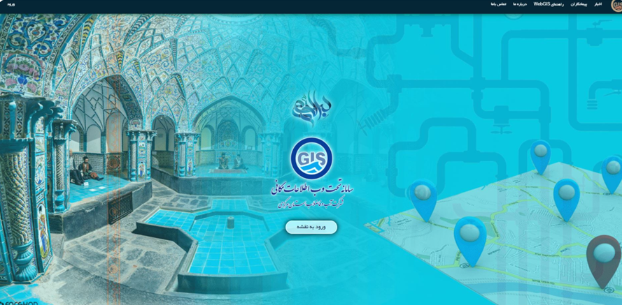
WebGIS Platform
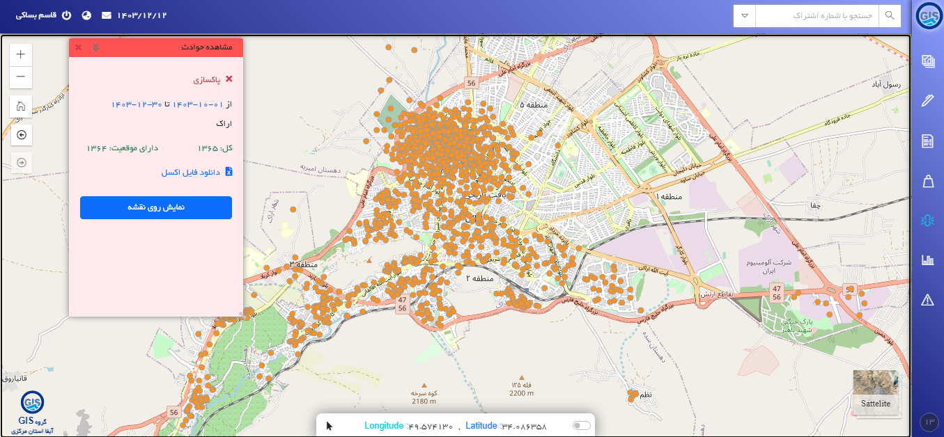
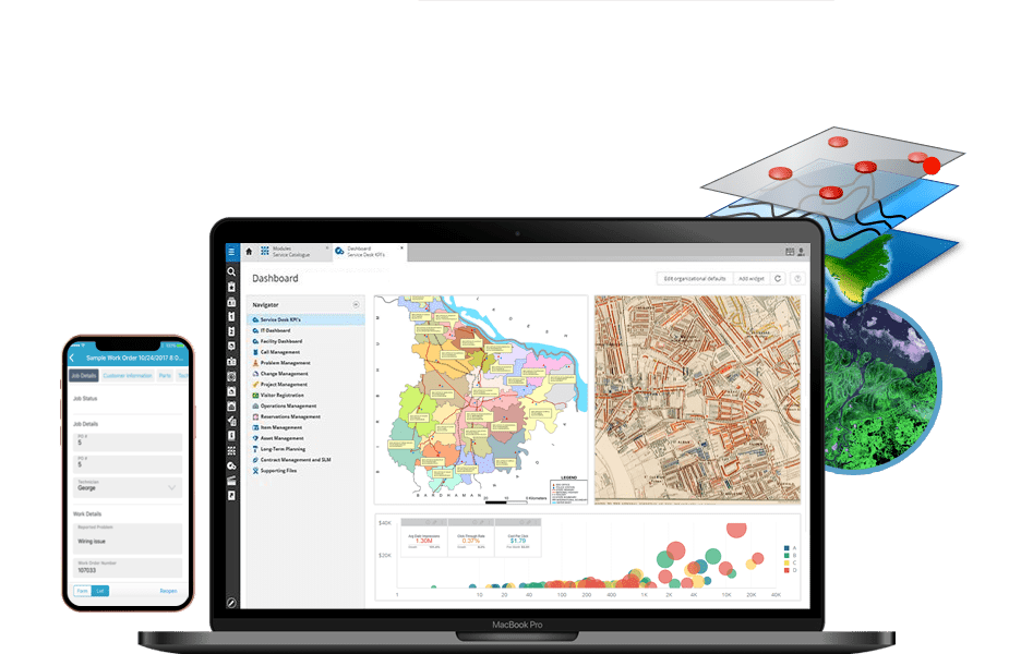
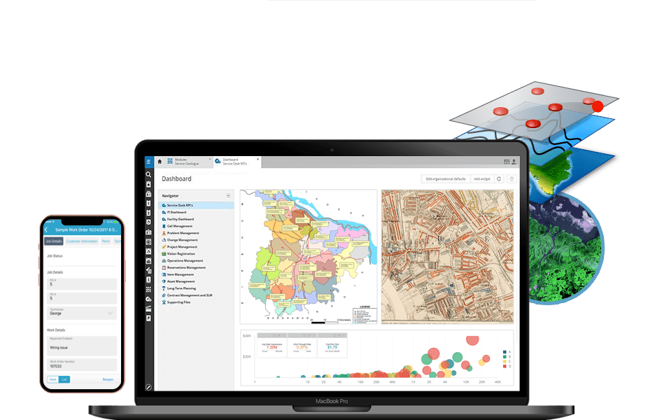
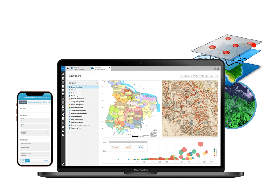
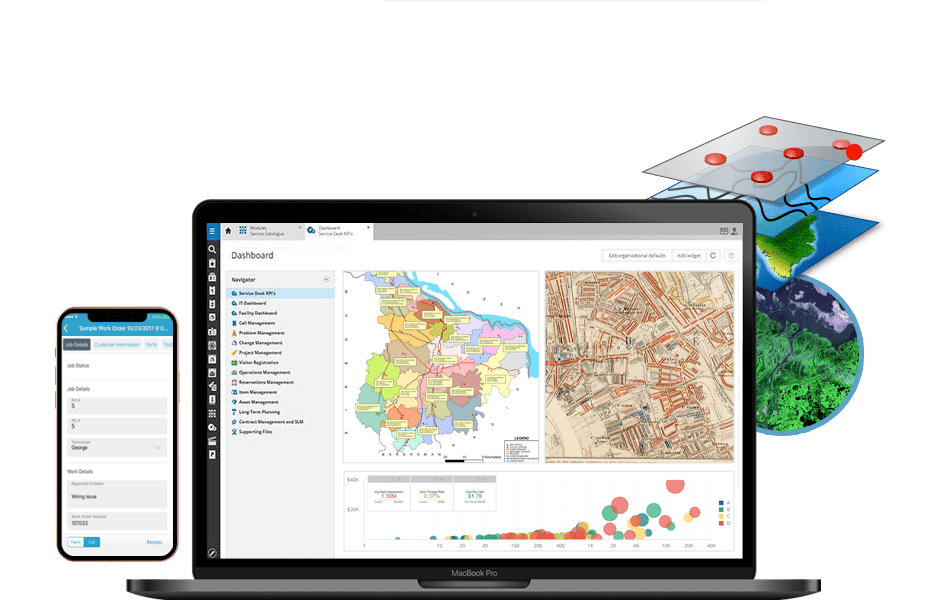
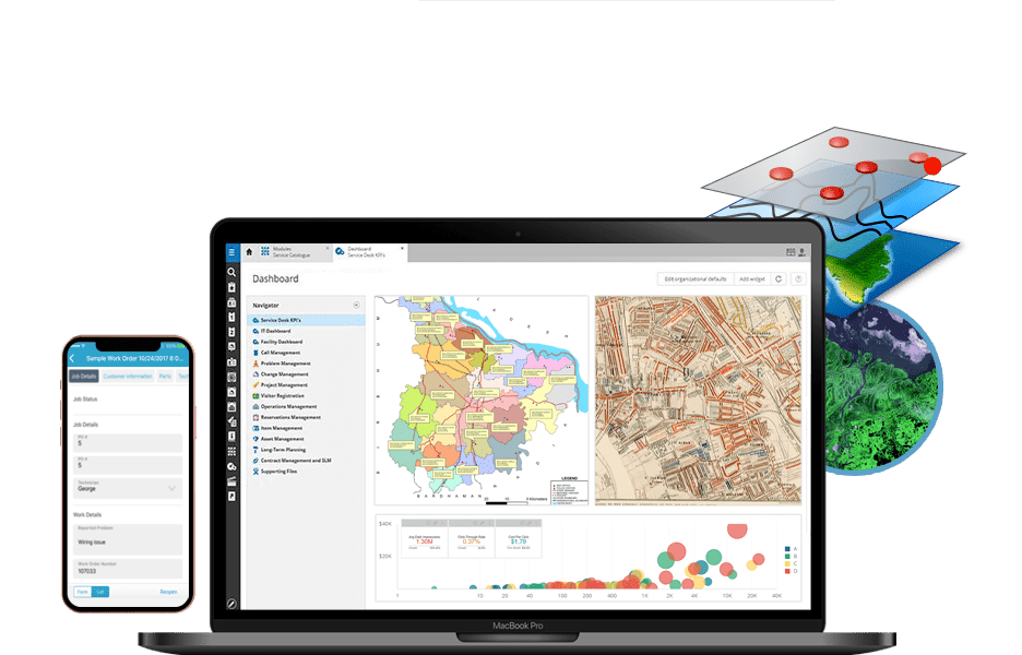
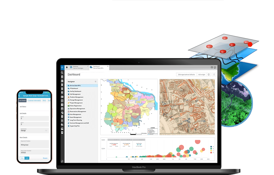
A full-featured web-based Geographic Information System built for managing the physical infrastructure of a provincial water and wastewater network. The platform enables operators to view, query, and update asset locations, track maintenance history, and generate spatial reports — all through a browser, without GIS desktop software.
Key Features
- Interactive infrastructure map with layer control
- Asset search, filter, and attribute editing
- Maintenance history and work order tracking
- Spatial reporting and export (PDF / Excel)
- Role-based access control
- Offline-capable field data collection
Tech Stack
ReactOpenLayersPostGISNode.jsPostgreSQLREST API